Narkūnai hillfort
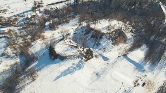
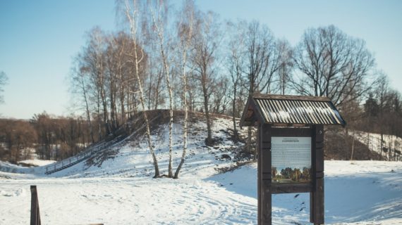
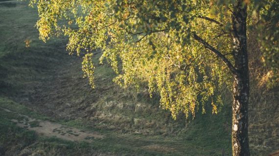
The hillfort (Castle of Utenis, the Great Hillfort) dates back to the beginning of the 1st millennium BC – 2nd cent. and the beginning of the 14-15th cent. It is situated on a separate hill on the left bank of river Utenėlė. The site is triangular in shape, oblong in a north-south direction, length 55 m, width at northern end 35 m. The slopes are steep, 14 m high. North of the hillfort across the ditch there is an outwork (Tomb of Utenis, the Little Hillfort). Its site is semi-circular in shape, oriented in a north-south direction, length 15 m, width at southern end 25 m. In its western, northern and eastern aspect there is a 60 m long, 2.5 high, 14 m wide earthwork.
It is supposed that in the 13th cent. the castle of the Duke Daumantas of Nalšia was here, by which the settlement was established and it was the beginning of Utena town. In 1433 the castle was burnt down by the Livonian Order.
In 1835 the hillfort was excavated by P. Vilčinskis (one of the first researchers of Lithuanian archaeological monuments). He found a thick cultural stratum in the site with pieces of burnt clay, pot shards, animal bones and other findings.
Information
Narkūnų village, Utenos dist.
Gallery